
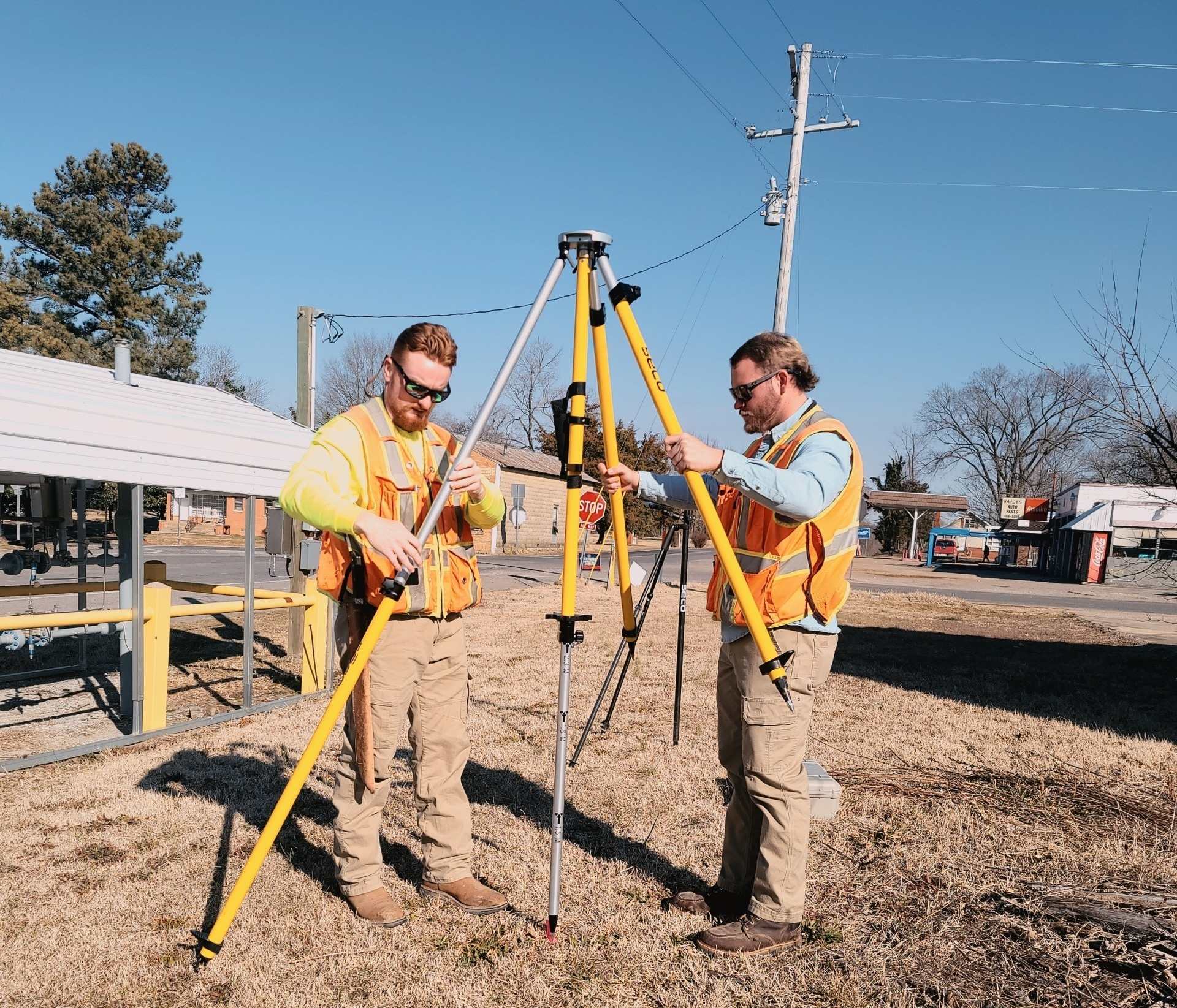
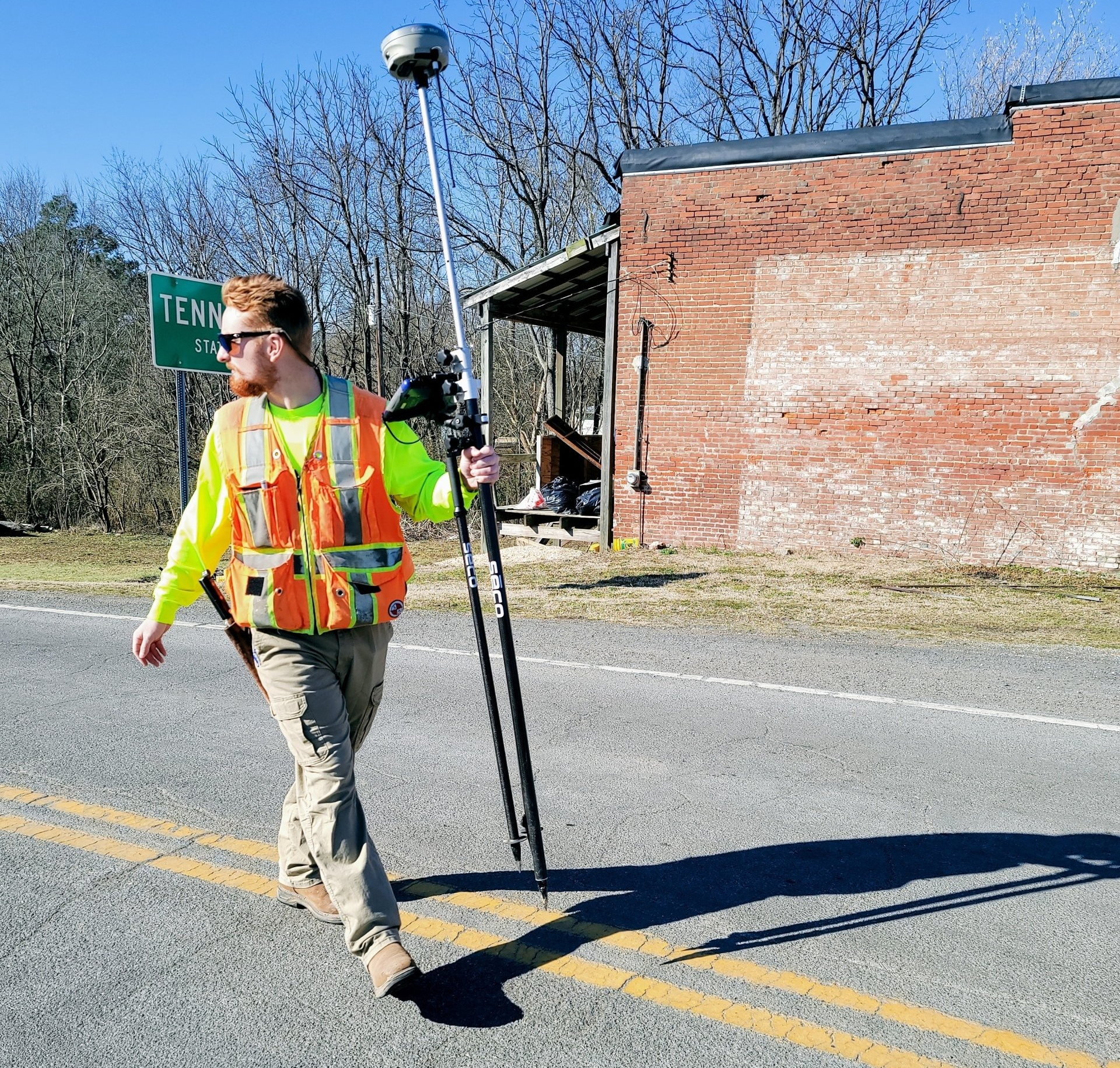
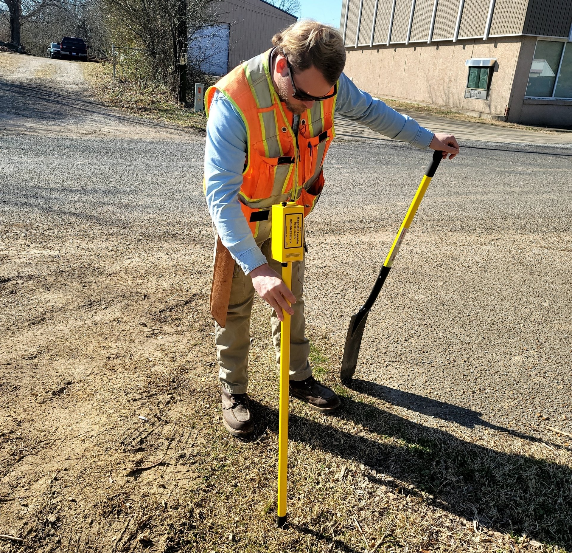
Volunteer Surveying for Efficient and Affordable Service
Boundary Surveys
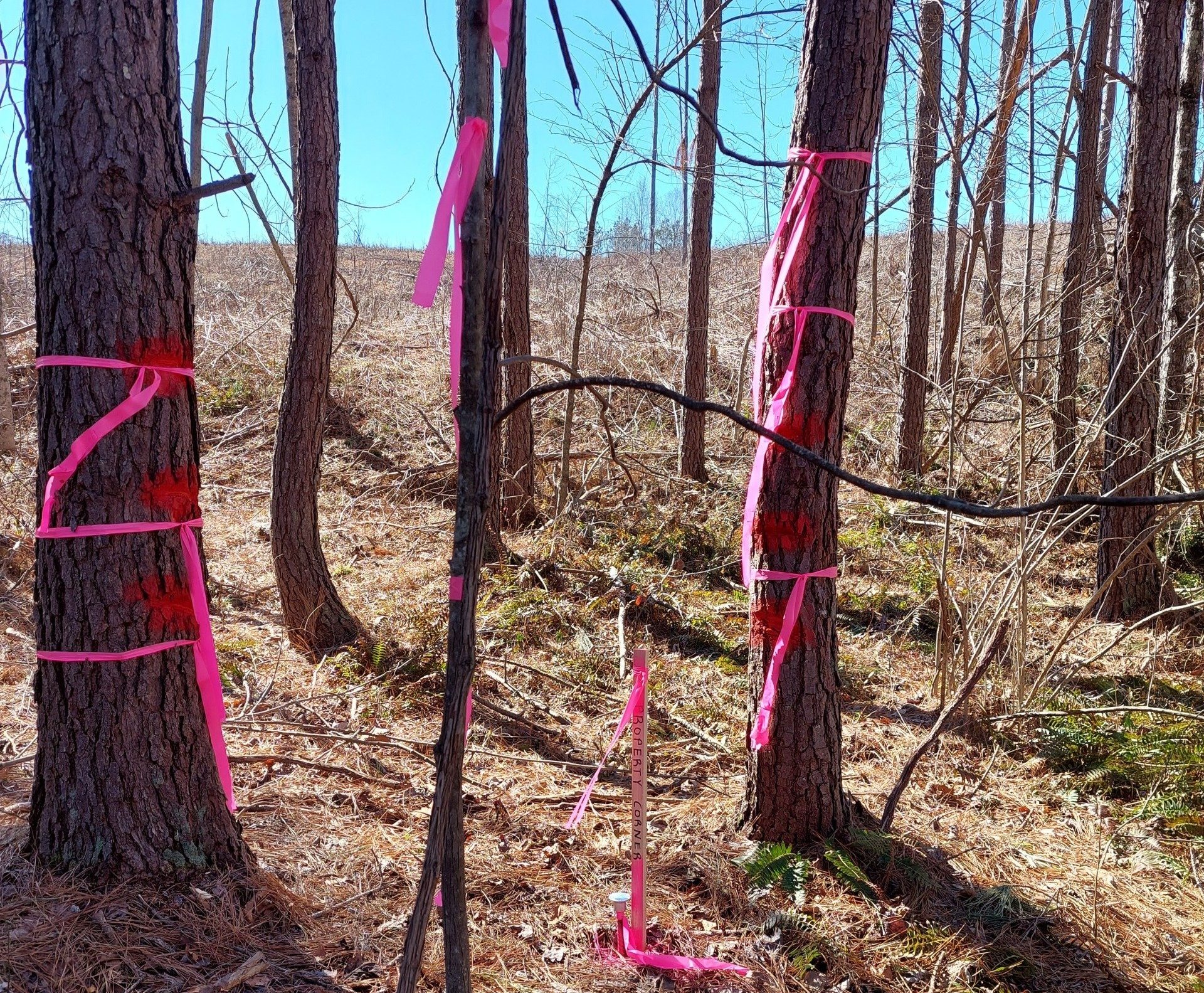
A boundary survey determines the property lines of a parcel of land according to the locations, the study, and interpretations of all the available documents (available deeds, wills, maps, etc.) pertaining to the parcel of land and the surrounding parcels, as well as the physical evidence of the boundary location that may or may not exist in the field. After a thorough retracing of the title utilizing the available documentation, the survey will then proceed to the land study, and once the two are complete, the calculations for an accurate measurement of the land will produce the finalized boundary survey.

Minor Subdivisions & Combinations Plats
Minor Subdivisions and Combination Plats are generally needed when someone is changing the legal description of a tract of land by splitting or dividing the land into tracts smaller than 5 acres (minor subdivision) or when combining existing lots to make a larger lot for the purpose of building development (combination plat). There are a set of guidelines for each of the scope of works. Volunteer Surveying will coordinate this time-consuming process and work with local municipality staff to help get the platting process finished.
*Our services and experience are not limited to Henry County. We are fully proficient to perform platting and re-platting services in adjacent counties in accordance with respective jurisdictions regulations or guidelines.
Large Acreage Farm Surveys
Volunteer Surveying has many years of experience surveying large, expansive properties in West and Middle Tennessee. Recent surveyed properties range from small to 250 acres and up to 2,000 acres. All sizes are well within the capability and knowledge of our experienced team.

Site Plans
Volunteer Surveying has partnered with other civil engineer companies to help with future developments. While we don’t have an on-staff engineer, we are very capable of providing you with the information to see your project through to the end. We work very closely with the engineers to make sure everything goes as planned.
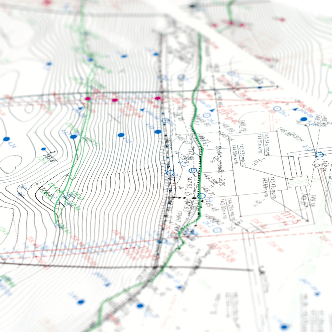
Topographic Surveys
Topographic surveys show the relief of a given property (its elevation, contour lines, slope, orientation, etc.) as well as any artificial or naturally occurring features, such as buildings, improvements, fences, trees, and waterways. This type of survey is useful and worthwhile for planning, preparation, engineering, and grading objectives.
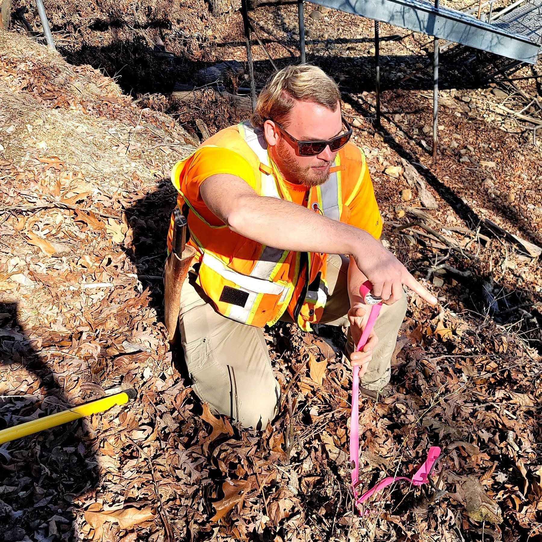
Land Partition Survey
A partition occurs when a parcel of property is divided according to the interests of the property’s new owners, these tracts are typically larger than 5 acres in size. The process is often requested when tracts of land are inherited or sold to make sure the smaller parcels retain certain proportions to each other. Land Partition Surveys typically include a boundary survey of the land, a survey plat, legal descriptions and setting monuments at corners of the newly partitioned parcels, while leaving existing corners.
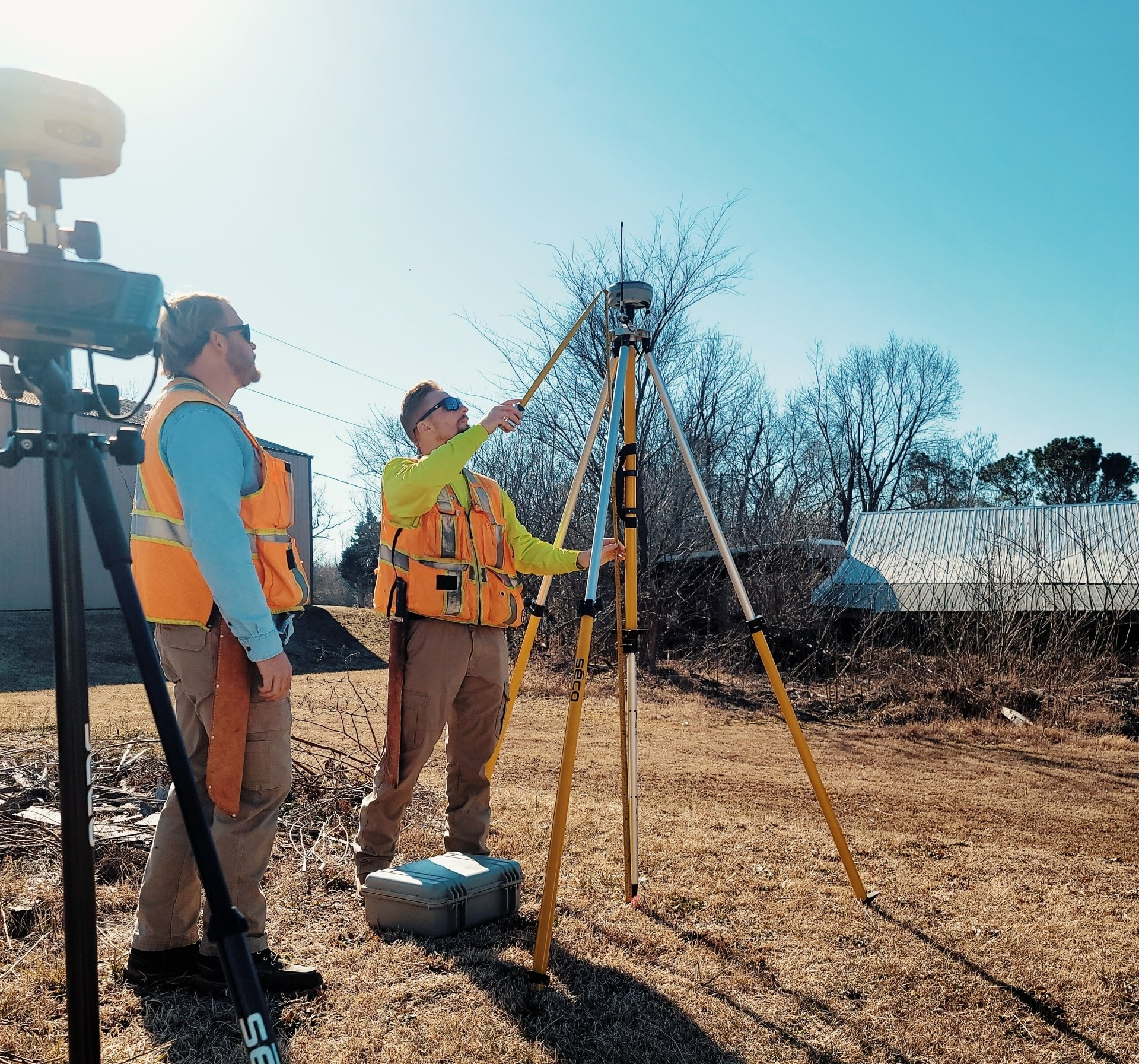
Construction Staking and Layout
Construction staking and layout provides grade, line, control elevations, dimensions, horizontal positions, and configurations in regard to construction operations. As surveyors, we apply our
surveying techniques to provide the information needed to start new construction and infrastructure projects. Modern Machine Control equipment may only need localization files for the current job site. Volunteer Surveying can help you get started on the initial construction phase of your project.
Easement Preparation
An easement grants to one party the right to use land that is owned by another party. An easement exhibit reveals the easement’s location on the property under consideration. Typically, easements are required when clients are planning to grant an Ingress/Egress easement or right-of-way to access their property, install utilities, maintain structures, use water courses, etc. Commonly, many types of easements are required in preparation for construction of roads, water, storm drainage, sewer lines, power, telephone, or cable lines. This process involves preparing an “Easement Description” and “Exhibit” which can be recorded in the local Register’s Office in the county where the subject property is located.
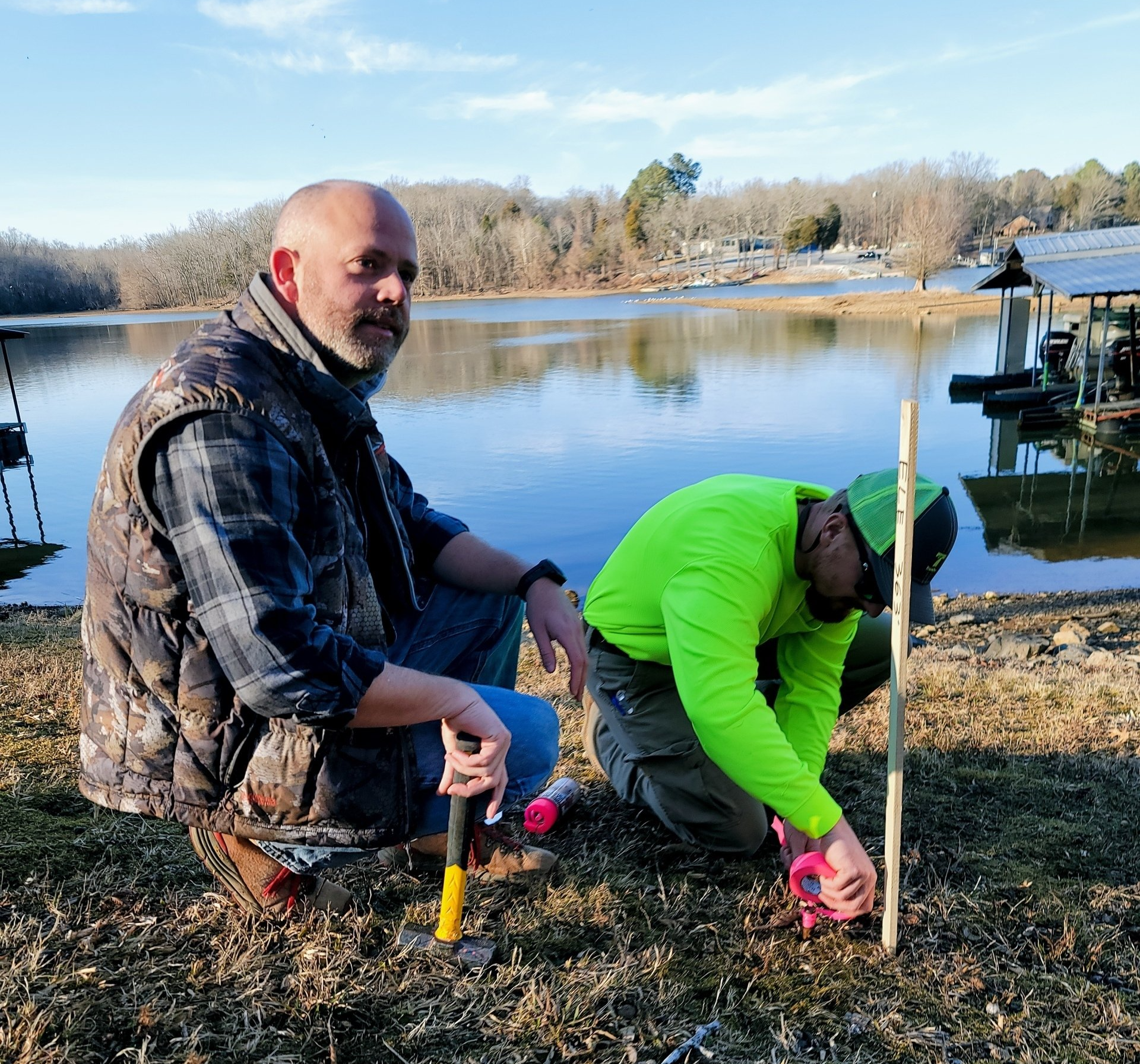
FEMA Elevation Certificates
An Elevation Certificate is a form issued by The Federal Emergency Management Agency (FEMA). The Elevation Certificate, or FEMA Certificate, identifies the flood and non-flood hazard areas in which a property is located, as well as the elevation of the building. Elevation Certificates are primarily used by the insurance agent when quoting flood insurance for the property.
Tree Surveys
A Tree Survey is used to provide a survey or an overall assessment of the trees on a site that’s being considered for development. It is based on the local governing authority or client’s required diameter and/or tree species on a site and completed prior to engineering or development. The trees being measured will be shown on a boundary survey drawing of the property. The surveyor then draws a map to show the scaled location of trees in relationship to on-site physical features or a boundary line.

Cell Tower / Communication
Telecommunications surveying services are essential to the growth and development of wireless infrastructure. New cell towers must be erected, and existing ones must be upgraded. The cell tower location survey helps telecommunication companies comply with municipality and federal rules and regulations.